|
Scenic USA - New Mexico Puerto de Luna |

| Photos by Ben Prepelka Ben Prepelka Photography |
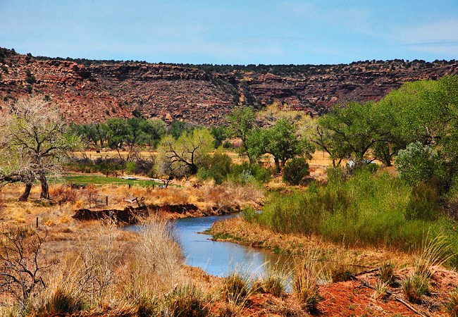
Once a boundary line between the civilized states and the Wild West,  the Pecos River drops down from the western slopes of New Mexico's Sangre de Cristo Mountains and cuts through the eastern half of the state. Nearly a thousand miles long, the Pecos crosses the western corner of Texas before joining the Rio Grande River. Once free-flowing, the Pecos River was dammed up several times before reaching Carlsbad, providing settlers with water for irrigation in the arid Mesalands.
Puerto de Luna grew up along the Pecos River, with its first settlers arriving in 1848. By 1873 the town of Puerto de Luna grew large enough to earn a post office, and by 1891 it became the county seat.  Its prestige was short lived, overtaken by
Santa Rosa to the north after the El Paso and Northeastern Railroad arrived.
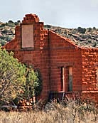
Although it's not a true ghost town, the Guadalupe Courthouse ruins, an old gas station,  a few abandoned homes and its captivating name manage to attract quite a few sightseers. One of the many stops along the Mesalands Scenic Byway, an old legend offers explanation of its Spanish name. One of the first Europeans to explore the area in search of gold, the story begins when Francisco Vasquez de Coronado camped here. When he saw the moon rising in a gap in the mountains, Coronado dubbed the area Gateway of the Moon. Perhaps the facts are much less dramatic, but it is known that the Luna family, with descendants still living in the area, lived at the mouth of the Puerto River. In any case, a Puerto de Luna visited will leave an indelible mark on your memory.
Area Map

|
Nearby Points of Interest |
Scenic USA Prints from
|
Copyright © 2023 Benjamin Prepelka
All Rights Reserved

