|
Scenic USA - Utah Waterpocket Fold |

| Photos by Bob Fagley |
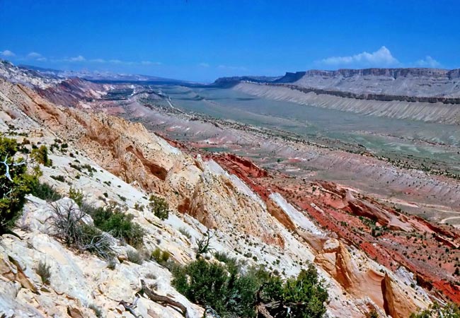
Geologist's primary goal is to reconstruct Earth's complete history. In most areas only a small section of examples exist, making their study fragmented. The Waterpocket Fold in Capitol Reef National Park is an unusual geological wonder. This classic warp in the earth's crust runs the length of the park for a hundred miles, from Thousand Lake Mountain and southward to Lake Powell. The park was established in 1937 as a National Monument to protect this natural wonder.
A fold is an area in the earth's crust where flat lying rock is forced into a ridge from faults in an underlying basement, much like pushing opposite edges of a sheet of paper together. Each side of the ridge is called a limb. The Waterpocket Fold, referred to as a monocline, has a singular limb. The park's classic examples of geology include sandstone cross-bedding,  stratigraphy, weathering, and erosion. These rock layers and examples are found throughout the park and create a rugged environment where learning about geology can be fun.
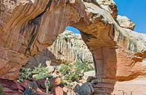
The park's colorful features are carved from layers of interbedded sandstones, siltstones and mudstones with hues that range from red, brown, white and gray. Erosion has etched out depressions in the sandstone, creating water-pockets. The name Waterpocket Fold reflects this ongoing erosion of the rock layers seen most areas of that defines Capitol Reef National Park. Weathering and erosion continue to created some of the park's most interesting features, including natural arches, massive domes and colorful canyons.
Area Map

|
Nearby Points of Interest |
|
Copyright © 2022 Benjamin Prepelka
All Rights Reserved
