|
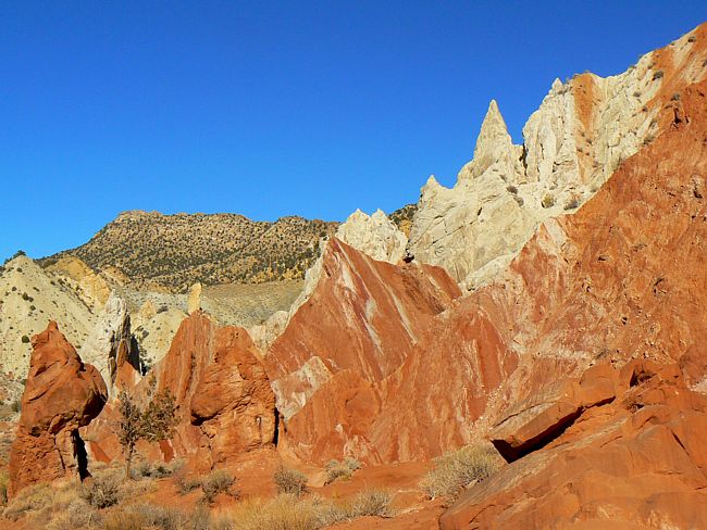
Scenic USA - Utah Cottonwood Wash Narrows |

| Photo by Rob Jones Rob's Trip Report |
A quick glance at the southern section of Utah's map instantly sets focus on a large swath of parklands that sweep across the state. The largest by far is the Grand Staircase-Escalante National Monument. Governed by the BLM, the vast 1.9 million acre monument dominates the southern desert. The major steps of the staircase are better seen from the air, consisting of the eastern Escalante Canyons, the central Kaiparowits Plateau and the Paria River Basin to the west.
One look at this scene along the Cottonwood Wash, tucked into the Escalante Canyons, easily conveys the reason why this area is called "red rock country." The scenic Cottonwood Canyon Road links scenic byway U.S. Route 89 and Utah's All American Road Route 12, passing Grosvenor Arch, Cottonwood Canyon, and Kodachrome Basin State Park. This secondary road cuts through an area that President Clinton described as one of the most rugged regions in the contigual United States. He went on to say its multi-hued cliffs, bold plateaus and vast distances defy the human perspective.
Area Map

|
Additional Points of Interest |
|
Copyright © 2020 Benjamin Prepelka
All Rights Reserved
